PAT is a free website to download maps of countries and states of the world. This website offers free maps for all the countries of the world, which you can either browse online or download them on your PC as GIF files. However, if you want to use the maps as PDF then you can go ahead and use a free GIF to PDF converter to convert all the GIF maps into PDF. Apart from maps of the countries, it also provides free maps of all the states of USA, Australia, and Canadian Provinces. This website also lets you download maps of all the countries as a single ZIP file.
One of the best features of this website is that when you select a country, it will also display maps of the associated regions and neighbor countries along with the map of the selected country. You can either download any individual country map or the ZIP/TAR files including maps of 238 countries, 73 states, and 1/2 size of the maps. Another useful feature of this website is that it offers maps in two different color schemes, High-Contrast Black Background and White Background.
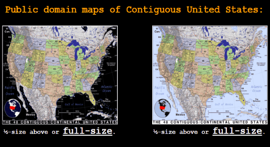
How to Download Maps of Countries and States of the World for Free:
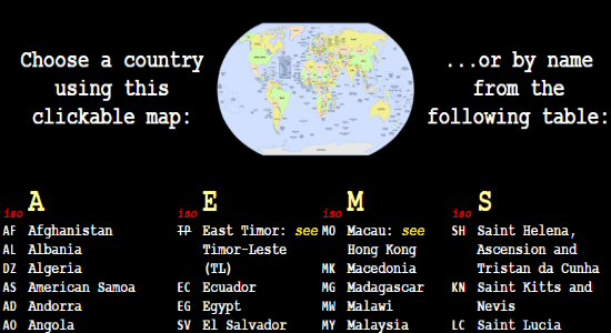
Step 1: Simply, visit the PAT homepage and there you’ll see different map bundles for regions, countries, US States, AU States, and CA Provinces. Now, to explore and download maps of all the countries, you need to click on “Countries” link. As soon as you do that, all the countries names will appear on the window and also a clickable map. The clickable map can be used to select any country manually instead of going through the entire list of countries.
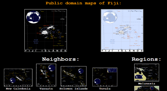
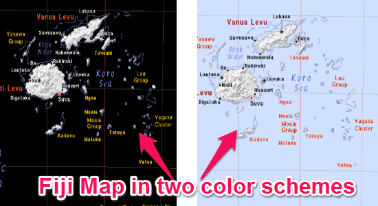
Step 2: Now, select any of the countries you want to explore and also to download the map. After selecting a country, the country maps will open up in two different color schemes, as shown below. You can simply click on any of the map to enlarge it and if you want to download it, then simply right-click on the map and save it as a GIF file. At the bottom of the window, it will also display the neighboring countries of the selected country and associated regions, which you can also explore and download.
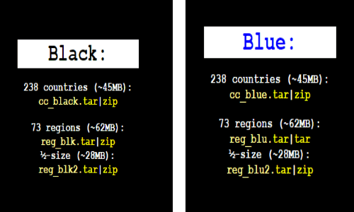
Step 3: In the same manner, you can explore and download maps of all the countries, US States, Australia States, and CA Provinces. However, if you want to download maps of all the 238 countries, 73 regions, or 1/2 size of the maps, then you can download the ZIP/TAR files available at the top of the window while you’re exploring any country map. The ZIP/TAR files also include maps with two different color schemes.
If you don’t want to download maps, then you can simply view them online. You can select any of the color schemes before you start viewing the map online. The main purpose of the “High-contrast black background and oceans is for emissive displays of the map, whereas, the “White background and traditional light blue oceans” is appropriate for printing.
My Final Verdict:
PAT is a pretty useful website that offers free maps of countries and states for you to download. Personally, I like this website as it doesn’t imprint any watermark on the maps and also offers two different color schemes for all the available maps.