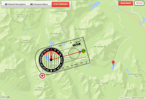
This article covers a Free Online Compass Tool To Plot Routes On Map. For the intended purpose, we will use Google Compass, a Google Maps tool to record compass bearings, and plot routes. Google Compass is a free to use web application provided by Barcelona Field Studies Centre.
You can use this online compass tool to plot and record compass bearings, distances, magnetic declination, and variation. Using this online compass, you can plot single as well as multiple routes. This online compass automatically adjusts for true north and magnetic north according to the location. You can save your routes online by mentioning our email ID and retrieve them later.
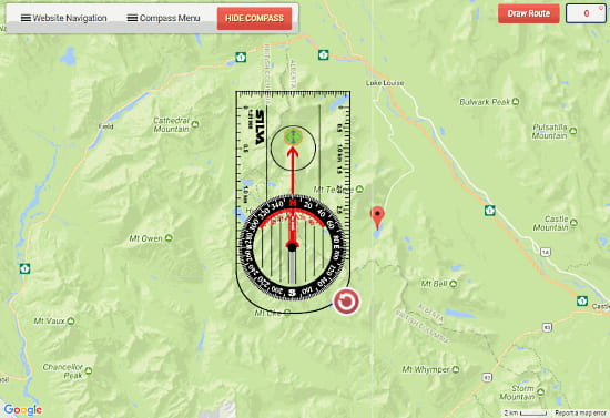
This online compass tool is ideal for orienteers, educationalists, and hikers wishing to practice compass reading and plan routes.
Here is an article to Create Travel Blog on Map with Routes, Photos, Posts. Also, check out this World’s Largest Bike Routes and Maps Directory.
How To Use Free Compass Tool To Plot Routes On Map
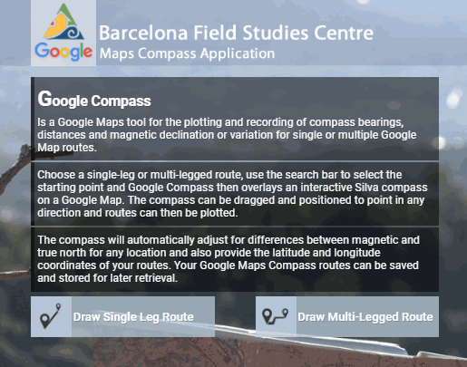
First of all, go to googlecompass.com to use this online compass tool. Then, select whether you want to Draw Single Leg Route or Multi-Legged Route. If you want to plot separate single routes with a center hub, then select ‘Draw Single Leg Route‘. And, if you want to plot a continuous route, then select ‘Draw Multi-Legged Route‘. The process of plotting routes is similar in both cases.
Single Leg Route
Go to the location from where you want to plot the route. You can use the search bar at the top to search a particular starting location. After that, select the zoom level accordingly and click ‘SHOW COMPASS‘ button to enable the compass and ‘Compass Menu‘. Now, align the compass center to the starting point of your route. Then, rotate the compass accordingly to any desired degree. You can adjust the length of the route by dragging the center line on the compass. When everything is perfectly aligned, click on the ‘Draw Route‘ button at the top right corner. It will open a pop-up that will show you the origin and destination coordinates, click ‘OK‘ to plot the route on the map. Similarly, you can plot as many single legs (routes) as you want.
NOTE: Map cannot be scaled when the compass is shown. You have to hide the compass first to enable scaling.
Multi-Legged Route
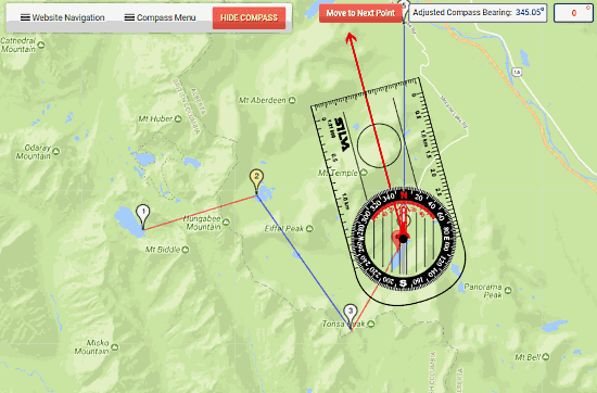
The process of plotting multi-legged route is identical to single leg route; the only difference is that the destination coordinates of first leg act as the origin coordinates for the next leg. In other words, after plotting the first leg, the next leg starts at the end point of the first leg. When you draw a leg in multi-leg route, the ‘Draw Route‘ buttons changes to ‘Move to Next Point‘, which takes the compass at the end point of last plotted leg. Similarly, you can add as many legs as you want to your route.
You can save your route here by mentioning your email ID. This online compass tool assigns a number to your route and saves it online. You can access your route(s) later either by entering your email ID or route number.
Compass Menu:
This online compass tool has the following basic and useful features under ‘Compass Menu‘:
- New Routes
- Undo Previous Routes
- Redo Previous Routes
- Clear All
- Print Map
- Route Info
- Save Route
- Import Route
- My Routes
- Hide Compass
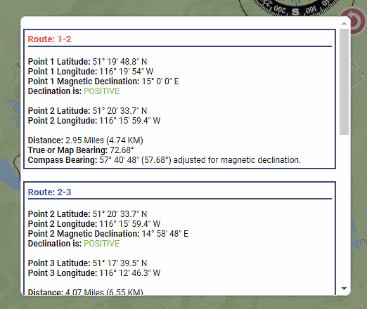
All of these features are pretty much self-explanatory. The one feature that is worth mentioning is ‘Route Info‘. This shows you all the details of all the routes you created. It shows you the coordinates of each point along with magnetic declination and distance. It also shows you the true bearing and adjusted compass bearing for magnetic declination.
Closing Words:
This online compass tool is very accurate and easy to use. It maps bearing along with magnetic declination and adjust the compass bearing according to the magnetic declination.
Access this online compass here.
