Here’s a tutorial in which I will explain how to measure the area using Google Maps. Google Maps are one of the most reliable sources for locating places over the map or to find navigation, etc.. You must be using Google Maps for different purposes but do you know that Google Maps can also be used to measure area? I will tell you how to do it in this tutorial.
The good thing is that you don’t need Google account to follow this tutorial and you don’t even need to download anything. It’s an online service ACME Planimeter which makes it possible to measure area using Google Maps. It displays measured area in Meter Square, Hectares, Kilo Meter Square, Feet Square, Acres, and Miles Square.
Let’s get started with the steps to use it.
Steps to Measure Area Using Google Maps:
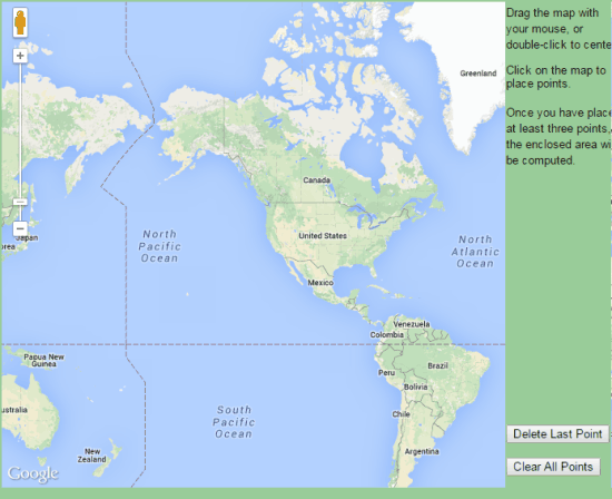
Step 1: Open ACME Planimeter in your PC browser to get the interface shown in the screenshot below.

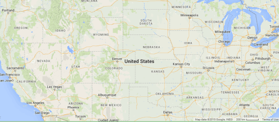
Step 2: Use zoom in and zoom out to focus on the location whose area you want to measure.

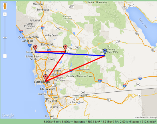
Step 3: Click on the location to pin them. One click drops one pin and you can pin as many locations as you but a minimum of 3 pins are required for measuring the area.

Step 4: Just when you drop the 3rd pin, the website will start displaying the area covered by those 3 pins. The value of area will change depending on the number and location of the pins dropped by you. You can see the measured area at the bottom of the above posted screenshot.
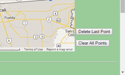
Step 5: In case, you want to remove the last dropped pin or all the pins then you simply need to click on the corresponding option at right corner.

This way, you can measure the area of any location using Google Maps within just 5 steps. The other cool thing about this website is that once you have used it for one time then it automatically remembers all your last zoom in, zoom out and pans. It means you don’t need to look for last opened location again.
Here I wrap up this tutorial. If you face any problem in following any of the steps, then do reach me using comments section.
You may also like: FSS Google Maps Downloader.