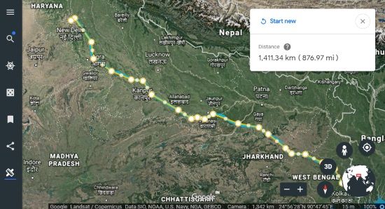
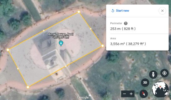
This tutorial explains how to measure distance in Google Earth. This is a new and built-in feature of Google Earth which helps to measure distance between two places. Whether you want to measure distance of two remote locations or square feet of an area, Google Earth now lets you do that. You just need to connect two or more points and Google Earth will measure the distance for those points and show you the result in real-time. The data might not be 100% correct but you will get sufficient idea.
This was one of the most requested features not present in Google Earth earlier. Thankfully, this feature has been added to Google Earth now. You can read the announcement here. Currently, this “Measure Distance” area is available on Google Chrome and Android devices. It will also come on iOS in future. I have covered this tutorial for Google Chrome browser.

In the screenshot above, you can see I measured distance between two cities in Google Earth using Google Chrome with the help of this feature. You can’t save the output to PC directly but yes you can copy the distance measure to clipboard for sure.
How To Measure Distance In Google Earth?
Step 1: Open your Google Chrome browser and then access the homepage of Google Earth. When it is done, you can launch Google Earth using the available button.
Step 2: On the left side, you will see a new “Measure Distance” option. Click that icon. If you have expanded the left sidebar, then this option won’t visible. It is visible only when left sidebar is collapsed.
![]()
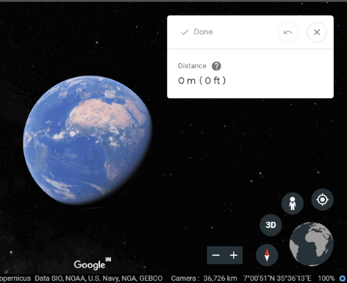
Step 3: Now a small box will be visible on the top right side. That box shows the distance for some area or locations.

Step 4: Switch map to 2D view mode. It is so because distance measure feature works best in this mode. After that, access some location in Google Earth. To measure distance between two locations or measure square feet of an area, click on the first location to add a point and then click on another location to add another point. As soon as you add a point, the data is updated in real-time, and you can see the distance in the available box.

If some location is added by mistake, you can undo the step. Apart from that, you can also drag n drop points to adjust their positions and measure the distance accurately.
When you have measured the distance, you can press Done option available in the box. To save the measured distance, you can copy it to the clipboard or write it down manually. That’s how Google Earth helps to measure the distance.
We’ve also covered some best free websites to find longitude and latitude of any location.
The Conclusion:
This is indeed a fantastic and very useful feature of Google Earth. Those who use Google Earth regularly and waiting for the feature to measure distance between locations or areas, their wait is over. Now Google Earth natively provides the feature to measure distance.