geojson.io is a free online map to display data from KML, CSV, and GEOJSON file. It is an online map which allows you to view and edit these GPS file formats or you can create your own map file in any of these formats. You just have to visit its homepage and start drawing on it and at last, download it in any file format of your choice. You can draw lines, quadrilaterals, polygons, and mark important locations by a place marker on the map.
In this article, I will cover all of these and let you know how you can draw on a map and view or edit files on this free online map website.

It also allows you to work with these GPS based file formats:
- TopoJSON
- WKT
- ShapeFile
I really like the fact that apart from all the GPS formats, it also supports CSV files, which means if you had converted KML to CSV, you can use those files also in this.
How to Create Own Map by Drawing Objects on Map:
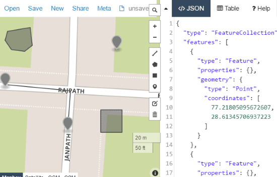
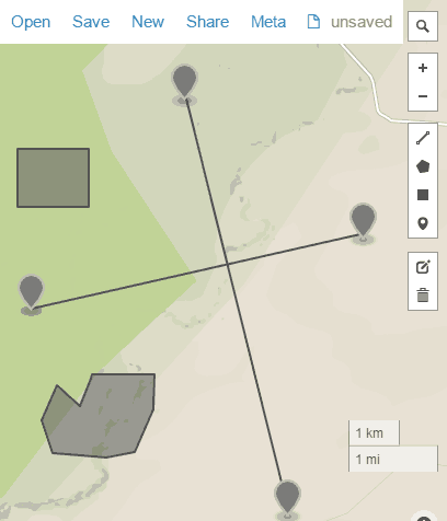
As I mentioned above, you can use geojson.io to draw on maps and then you can download your map in GEOJSON, CSV, KML file formats, etc. It offers basic options to draw on map, like, you can mark important locations with a place markers, draw lines, rectangles, and polygons. The drawing process is quite simple; just select a drawing object from its editing toolbar and then draw it on the map. Top draw a line, select the line icon and then click on any part of the map to mark the starting point and then mark its ending point, after that click on the ending point and a line will be automatically drawn on the map. In the same manner, you can draw quadrilaterals and polygons on the map. To place a place marker on the map, simply select place marker icon and then click on any location on the map.

Display data on this online map from GEOJSON file:
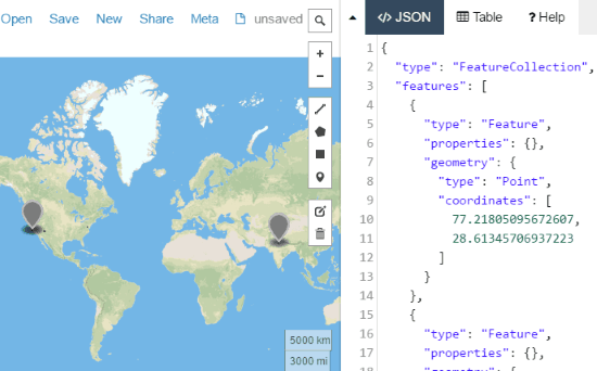
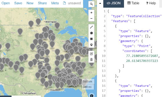
To display data on this online map from GEOJSON files is quite straightforward, just open a GEOJSON file by Open>>File. It will then automatically open up that GEOJSON file and display data on the map. You can also see the GEOJSON file code on the right-hand side pane, as you can see in the screenshot below. You are free to edit this GEOJSON file either by drawing on the map or edit source code directly. So, you can also use this free online map to view and edit GEOJSON files.

Display data on this online map from KML file:
Apart from GEOJSON files, you can also view and edit KML files. If you want to view a KML file then simply open it from Open>>File option and it will then display the map as per the KML file. It also allows you to create a KML file. Just start editing a map by drawing on it and save it as a KML file.

Display data on this online map from CSV file:
Just like GEOJSON and KML file, you can also create a new CSV file or view a CSV file on this free online map. To create a CSV file, visit geojson.io and edit the map and at last download it as CSV file. Similarly, you can open existing CSV file to see geographical data from CSV on the map.

Verdict:
geojson.io is a free online map that you can use to display data from a GEOJSON, KML, CSV, etc. I will surely recommend it to you as it allows you to view these geo file formats and the best part is that you can draw on the map, and then choose from a number of file formats in which you want to save that map.
Access this online map from here.