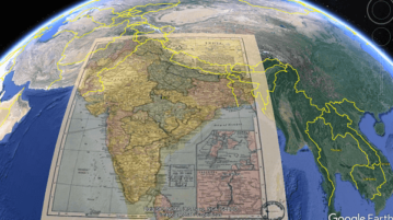
How to Overlay Historical Maps on Current Maps in Google Earth
See how to overlay historical maps on top of current maps in Google Earth Pro. Go through the step by step tutorial here
→
See how to overlay historical maps on top of current maps in Google Earth Pro. Go through the step by step tutorial here
→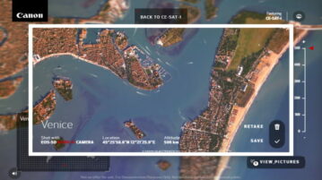
This article talks about a free website that allows you to take photos of Earth from space powered by the Canon CE-SAT 1 satellite.
→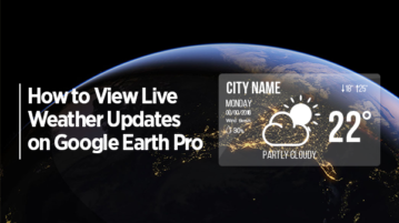
In this article, you will read about how to view live weather updates on Google Earth Pro on windows PC devices online for free.
→
In this article, you will read about how you can explore realtime satellite images of Earth, Storms, and Wildfires with Zoom Earth.
→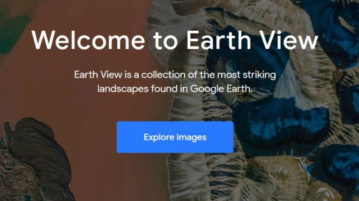
Earth View is a free collection to see most stunning landscapes of our planet taken from space. These HD images can be downloaded and used as wallpapers.
→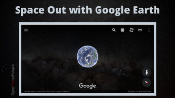
This article covers a new feature of Google Earth on Android that allows you to space out from the Earth and explore the stars around.
→
This tutorial explains how to create tours in Google Earth web version which you can share with others to present the tour in 3D with Google Earth.
→
Overview is a website which lets you explore beautiful satellite and aerial imagery of earth through various images on the website.
→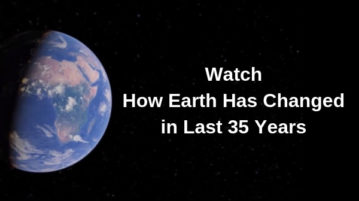
This article talks about a Timelapse viewer of Google Earth Engine that lets you watch the changes happened on the Earth’s surface since 1984.
→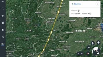
This tutorial covers how to measure distance in Google Earth. This is a new feature of Google Earth using which you can measure distance between two locations and area. You can determine the square feet of an area or measure distance between two remote locations.
→
JXLStoKML is a free XLS to KML converter software that lets you convert XLS file to KML file easily.
→Tour Builder lets you create interactive tours combining the features of Google Earth. Put your story on maps with this cool tour builder. Check this out.
→