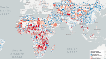
Find Areas with Limited Access to Streets with this Map
Here is an online map to find informal settlements or slums with limited access to streets across Africa, Middle East, South-East Asia, and more.
→
Here is an online map to find informal settlements or slums with limited access to streets across Africa, Middle East, South-East Asia, and more.
→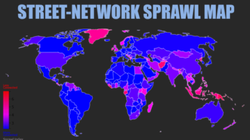
This article covers a free global sprawl map where you can check the street connectivity by exploring cul-de-sacs, loops, grids, deadends, etc.
→
Take a virtual tour of more than 500 museum galleries by Google Arts and Culture. Discover a popular collection of museums sitting at your home.
→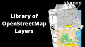
This article covers a free library of OpenStreetMap tiles that can be used to display OpenStreetMap data with unique layouts.
→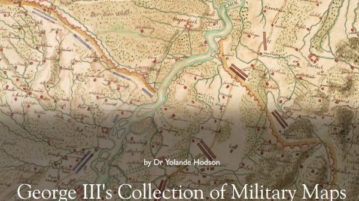
Military Maps is a website which offers free digitized archive of old military maps, prints, and drawings offered from the collection by King George III.
→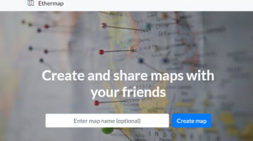
This article covers a free web app where you can create collaborative maps online and share in read-only mode with password protection.
→
Try these free Qibla direction finder to perform ritual prayers facing the right direction. Enter your location and know the correct direction of Kaaba.
→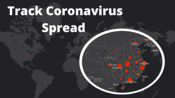
This article covers an interactive map to track the spread of novel coronavirus in real-time with the number of confirmed cases by countries.
→
Free website to find public piano near you on this worldwide Piano map. Pianos for Travelers is a platform that lets you discover locations of public pianos
→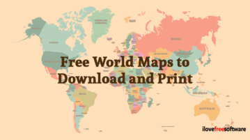
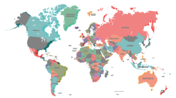
This article compiles a list of 9 websites with free world maps which can be downloaded in good quality and can be printed easily. Check out these websites.
→
This article covers a free web service to create custom route guidance map to help navigate someone to your location with waypoints and instructions.
→
This article covers a free overlap map tool where you can create a visual comparison of countries, rivers, states, lakes, man-made features, etc.
→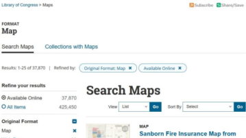
Library of Congress has a collection of over 30,000 historical maps which can be used by teachers for teaching and by students for research projects.
→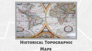
This article covers free interactive historical topographic maps that you can use to observe the topographical changes happened since 1880.
→